A recent study conducted by NASA researchers sheds light on the dynamics of river water flow, the rates at which water enters the ocean, and the fluctuations in these figures over time. This information is crucial for understanding Earth’s water cycle and managing freshwater resources. The study, published in Nature Geoscience, utilized a unique methodology that combines stream-gauge measurements with computer models to analyze approximately 3 million river segments worldwide.
The study reveals that the total volume of water in Earth’s rivers averaged 539 cubic miles (2,246 cubic kilometers) from 1980 to 2009. While this amount is equivalent to half of Lake Michigan’s water, it only accounts for about 0.006% of all fresh water on the planet, which itself is 2.5% of the global volume. Rivers, despite their small water proportion, have been essential to human civilization since ancient times.
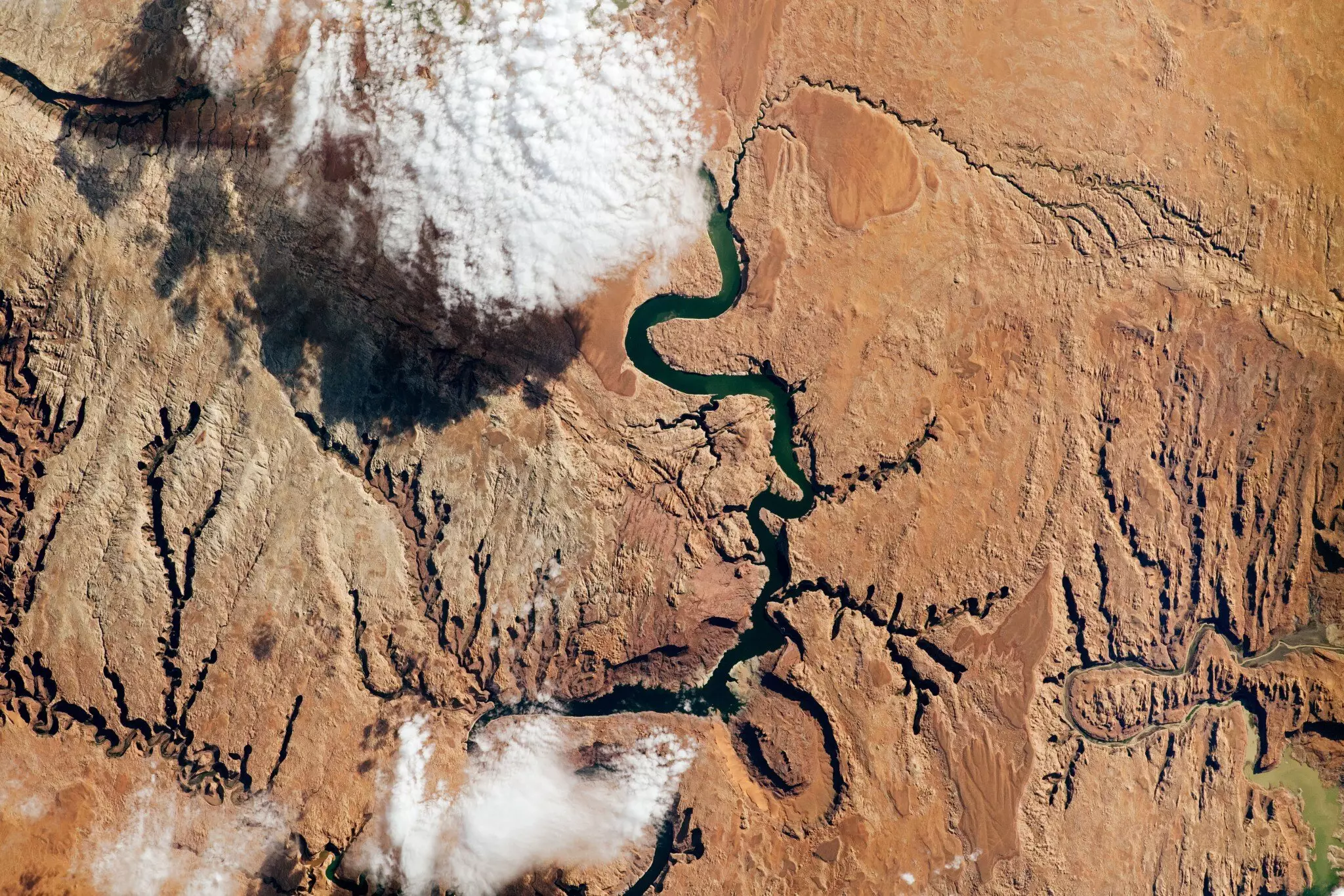
One of the key findings of the study is the identification of regions depleted by excessive water consumption, such as the Colorado River basin in the United States, the Amazon basin in South America, and the Orange River basin in southern Africa. The study’s co-author, Cédric David of NASA’s Jet Propulsion Laboratory, likened the lack of knowledge about total river water volumes to spending from a checking account without knowing the balance, emphasizing the critical importance of accurate data for effective water management.
The study highlights the Amazon basin as the region with the highest river storage, holding approximately 204 cubic miles (850 cubic kilometers) of water, representing 38% of the global estimate. Additionally, the Amazon basin discharges the most water into the ocean, at a rate of 1,629 cubic miles (6,789 cubic kilometers) per year, which accounts for 18% of the global discharge. The research also identifies other regions, such as parts of the Colorado, Amazon, Orange, and Murray-Darling river basins, where negative river flows indicate intense human water usage.
The study addresses the challenges in accurately estimating Earth’s total river water volume, noting that previous estimates have been based on outdated data from 1974. Limited observations of remote river systems, disparities in stream gauge coverage between large and small rivers, and uncertainty in land runoff estimates have contributed to the difficulty in gauging total river water volumes accurately. The study’s methodology involved correcting simulated runoff data from land surface models using gauge measurements from various locations, in addition to creating high-resolution global maps for modeling river discharge.
By providing more accurate estimates of river water volume and flow rates, this study offers valuable insights into the global water cycle and the impact of human activities on freshwater resources. The data generated can be used to monitor changes in river water storage, assess regional water management practices, and facilitate comparisons between different river systems worldwide. As researchers continue to refine their methodologies and incorporate new satellite data, our understanding of Earth’s water cycle will improve, aiding in the sustainable management of precious freshwater resources.
Leave a Reply