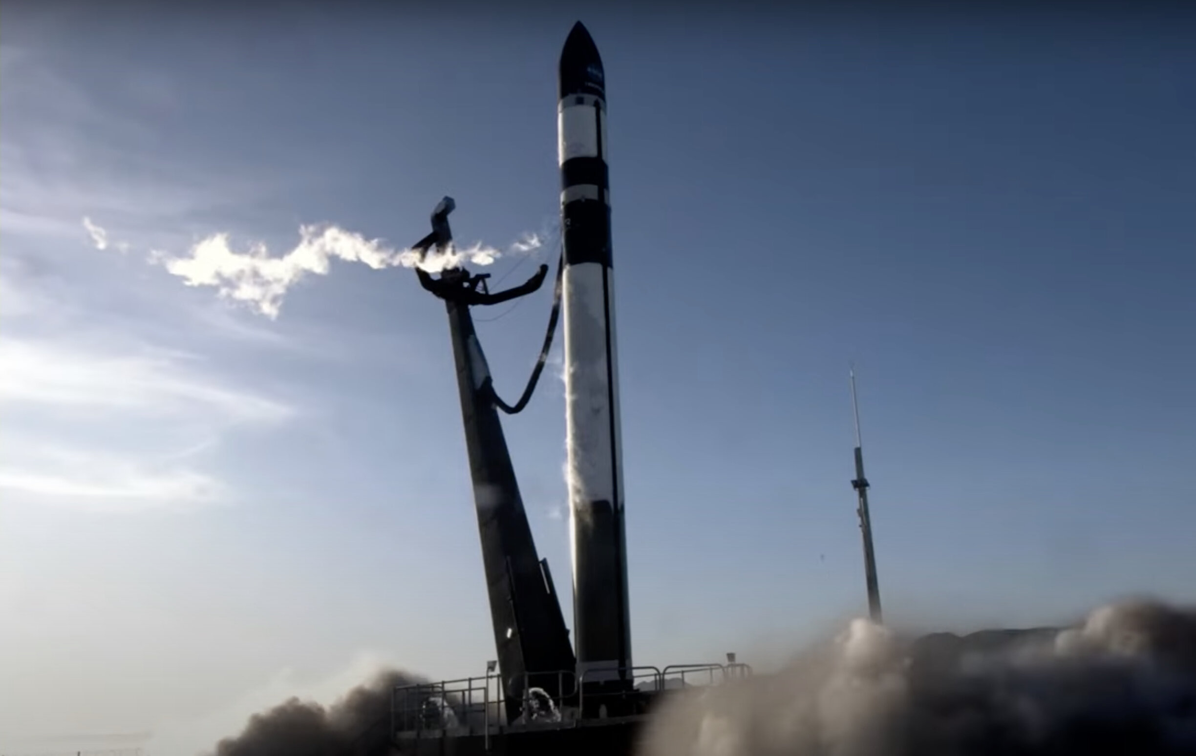
NASA has launched the final two satellites in a quartet designed to track tropical cyclones every hour. The TROPICS constellation of satellites, which are the size of shoeboxes, were sent into orbit on a rocket built by US company Rocket Lab and launched from New Zealand’s Mahia Peninsula. This project has the potential to significantly improve weather predictions on devastating storms.
Improved Tracking Capabilities
The new satellites have the capability to fly over hurricanes or typhoons in the Pacific every hour. This is a significant improvement from the current satellites that only allow tracking every six hours. The information gathered on rainfall, temperature, and humidity could help scientists determine where a hurricane is likely to make landfall and how intense it will be. This will help people living in coastal areas to be better prepared for possible evacuations.
Long-Term Benefits
In addition to improving weather predictions, a better understanding of the formation and evolution of tropical cyclones could help improve climate models. The TROPICS constellation was originally intended to have six satellites, but the first two were lost when a US Astra rocket malfunctioned shortly after lift-off last year. The completion of the constellation with the final two satellites will enable NASA to gather more comprehensive data on tropical cyclones.
Impact of Tropical Cyclones
Hurricanes, or typhoons, are becoming more powerful as the ocean surface warms. The devastating impact of tropical cyclones was exemplified by Hurricane Ian, which hit Florida in 2022, killing dozens of people and causing over $100 billion in damage. The improved tracking capabilities of the TROPICS constellation of satellites will enable us to make better predictions regarding the potential damage of future storms.
The launch of the final pair of satellites in the TROPICS constellation represents a significant step forward in our understanding of tropical cyclones. The ability to track these storms every hour will enable us to make better predictions regarding the potential damage of future storms and help people living in coastal areas to be better prepared for possible evacuations. Additionally, the improved tracking capabilities will help us to improve climate models and gain a better understanding of the formation and evolution of these storms.
Leave a Reply