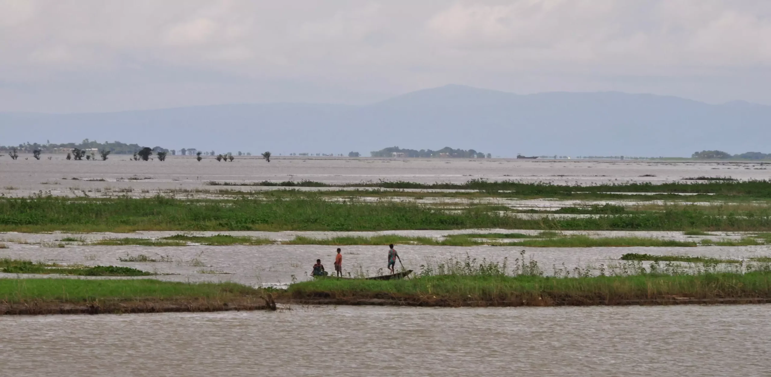
A major earthquake that occurred 2,500 years ago caused a significant change in the course of the Ganges River, one of the largest rivers on Earth. This previously undocumented event rerouted the main channel of the river in what is now densely populated Bangladesh. The study, which was published in Nature Communications, sheds light on how earthquakes can have a direct impact on river systems, especially in regions that are prone to seismic activity.
Lead author Liz Chamberlain, along with her team of researchers, discovered evidence of the earthquake-induced avulsion during an expedition in Bangladesh. They found distinct vertical dikes of light-colored sand cutting through layers of mud, indicating a sudden and forceful change in the landscape. Chemical analyses of the sand grains and mud particles revealed that these events took place approximately 2,500 years ago, suggesting the magnitude of the earthquake to be around 7 or 8.
The findings of this study have important implications for regions that are situated in tectonically-active areas, such as Bangladesh and other parts of Asia. The ability of earthquakes to trigger rapid changes in river courses highlights the need for increased preparedness and monitoring in vulnerable regions. Understanding the geological history of an area can provide valuable insights into potential risks and help communities develop proactive measures to mitigate the impact of future seismic events.
The Ganges River is not the only waterway facing the threat of earthquake-induced avulsions. Other major rivers around the world, including the Yellow River in China, the Irrawaddy River in Myanmar, and rivers in the United States and Middle East, are also at risk. The study serves as a reminder of the interconnectedness of geological processes and the potential consequences for human settlements and infrastructure.
As our understanding of the Earth’s dynamic processes continues to evolve, it is essential to conduct further research to assess the risks associated with seismic events and their impact on river systems. By combining geological data, satellite imagery, and on-the-ground observations, scientists can unravel the complex interactions between earthquakes and river dynamics, ultimately helping to safeguard vulnerable communities and ecosystems.
The study on the ancient earthquake that reshaped the Ganges River provides valuable insights into the relationship between seismic activity and river avulsions. By studying past events, we can better prepare for future challenges and work towards building more resilient societies in the face of natural disasters. The ongoing collaboration between researchers from various disciplines highlights the importance of interdisciplinary approaches in understanding the complex processes that shape our world.
Leave a Reply